Geographic Information Systems (GIS)
Interested in joining our GIS Group?
Click here to view current career opportunities.
PGA’s GIS Group believes that geographic information systems (GIS), data development, and geospatial concepts enhance every project. PGA’s Strategic Plan highlighted the need to add Geospatial Services as a discipline, growing out of a need to centralize, consolidate and collaborate via geographic information. We strive to create a learning environment, where all service areas can benefit from understanding the relationships between data and the real world.
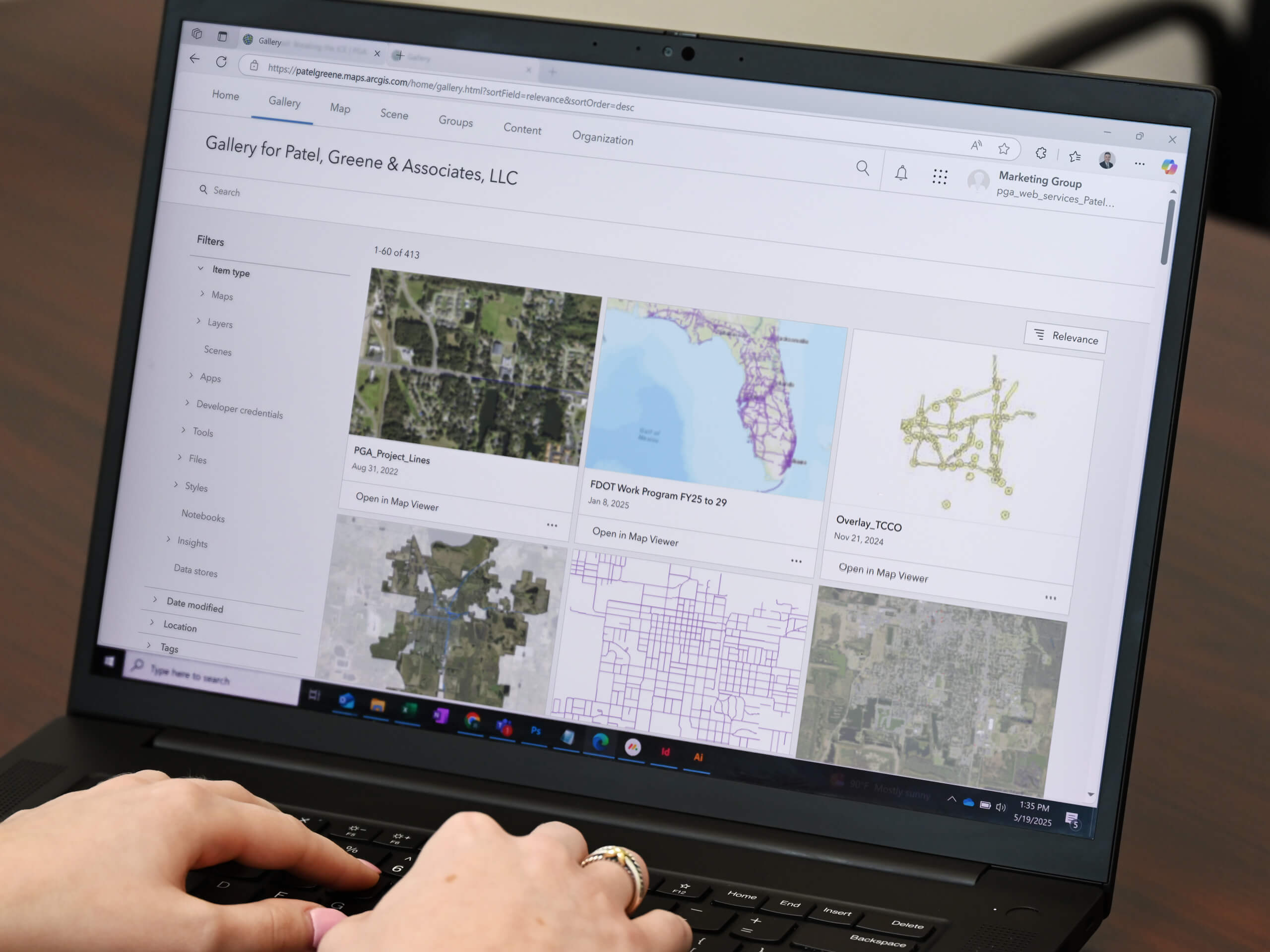
Currently PGA maintains the Esri suite of products, and has multiple licensed GIS professionals within Planning, Drainage, Environmental, PD&E, Roadway, and Marketing Groups. We have access to geospatial capabilities in all office locations. We also offer expertise using 3D Analyst and Spatial Analyst extensions.
Some areas of expertise include:
- GIS Strategic Planning and Implementation
- GIS Training and course content
- Database development and design
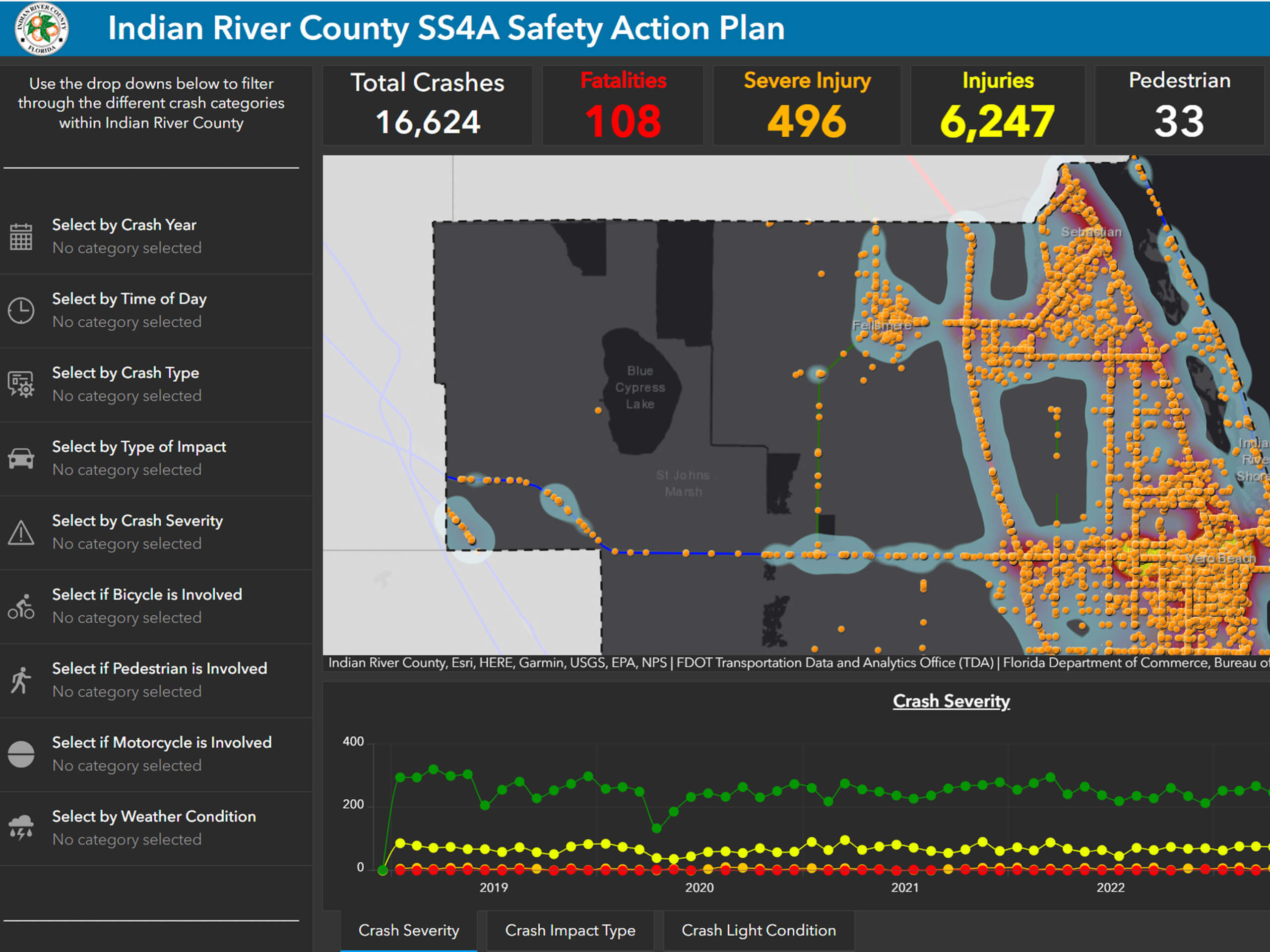
- Transportation Planning and Safety
- Socio-economic data analysis
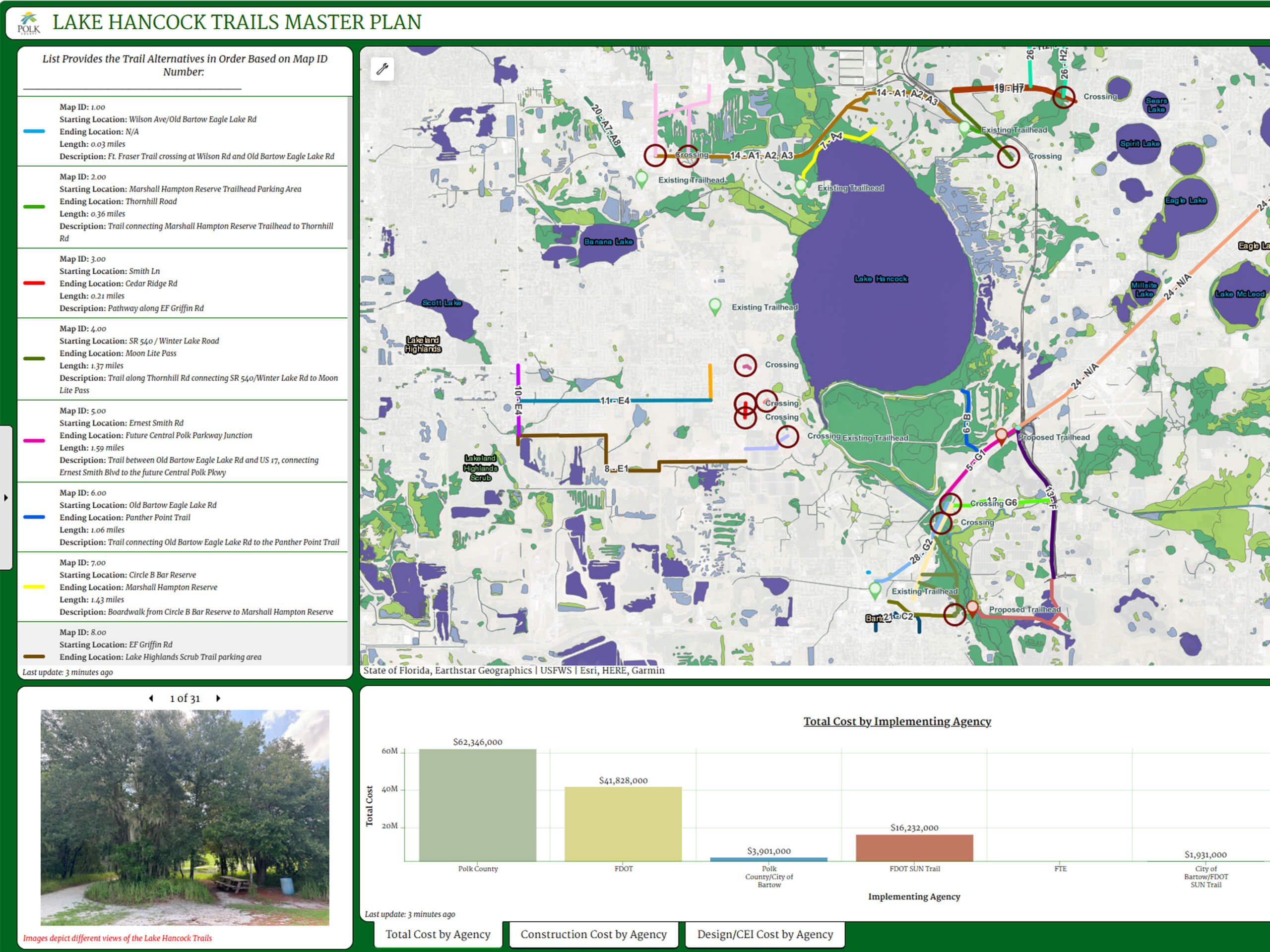
- Environmental Planning and Analysis

Esri marks are used herein under license from Esri