Geographic Information Systems (GIS)

Interested in joining our GIS Group?
Click here to view current career opportunities.
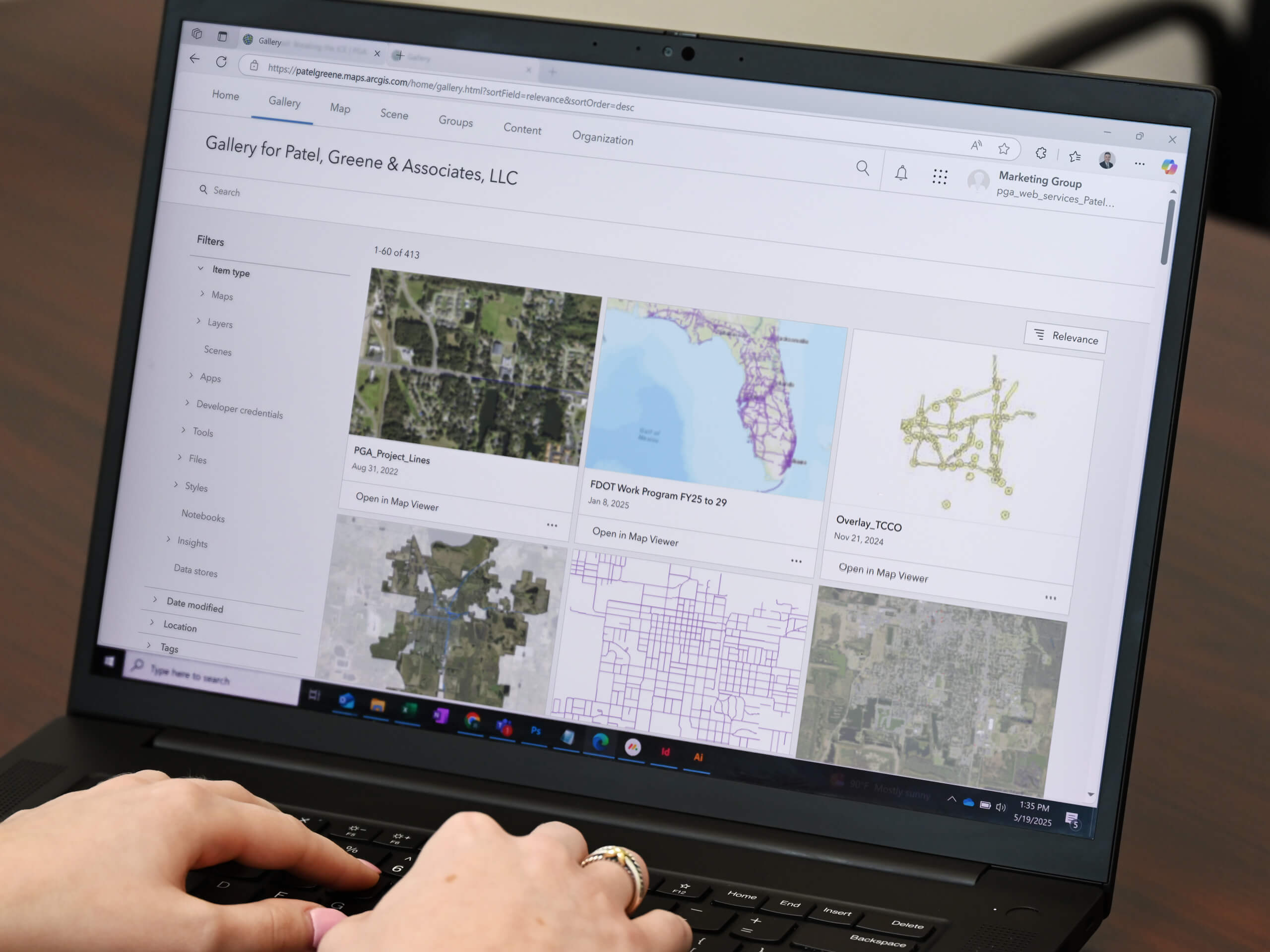
PGA’s GIS Group believes that geographic information systems (GIS), data development, and geospatial concepts enhance every project. PGA’s Strategic Plan highlighted the need to add Geospatial Services as a discipline, growing out of a need to centralize, consolidate and collaborate via geographic information. We strive to create a learning environment, where all service areas can benefit from understanding the relationships between data and the real world.
Currently PGA maintains the Esri suite of products, and has multiple licensed GIS professionals within Planning, Drainage, Environmental, PD&E, Roadway, and Marketing Groups. We have access to geospatial capabilities in all office locations. We also offer expertise using 3D Analyst and Spatial Analyst extensions.
Some areas of expertise include:
- GIS Strategic Planning and Implementation
- GIS Training and course content
- Database development and design
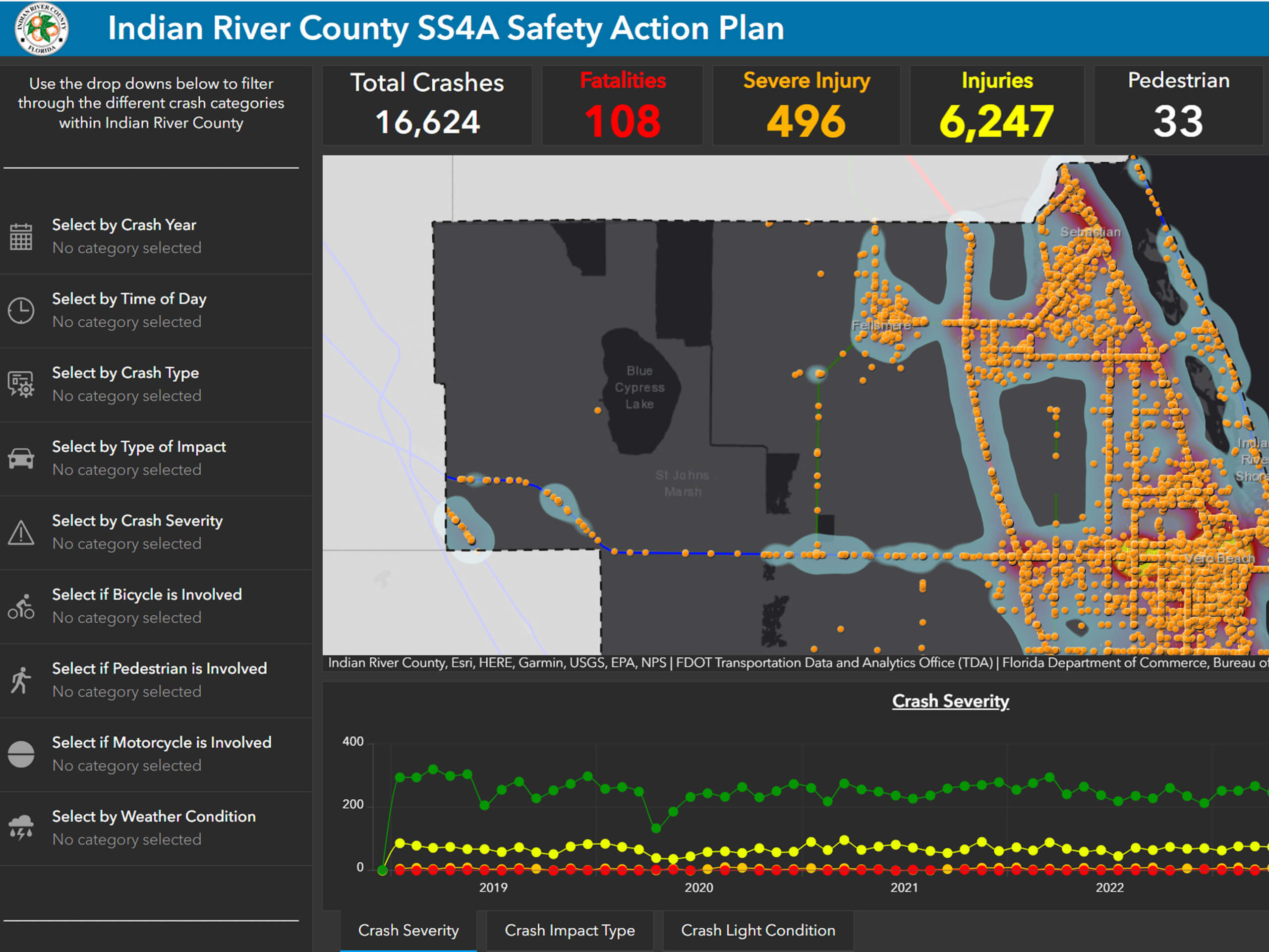
- Transportation Planning and Safety
- Socio-economic data analysis
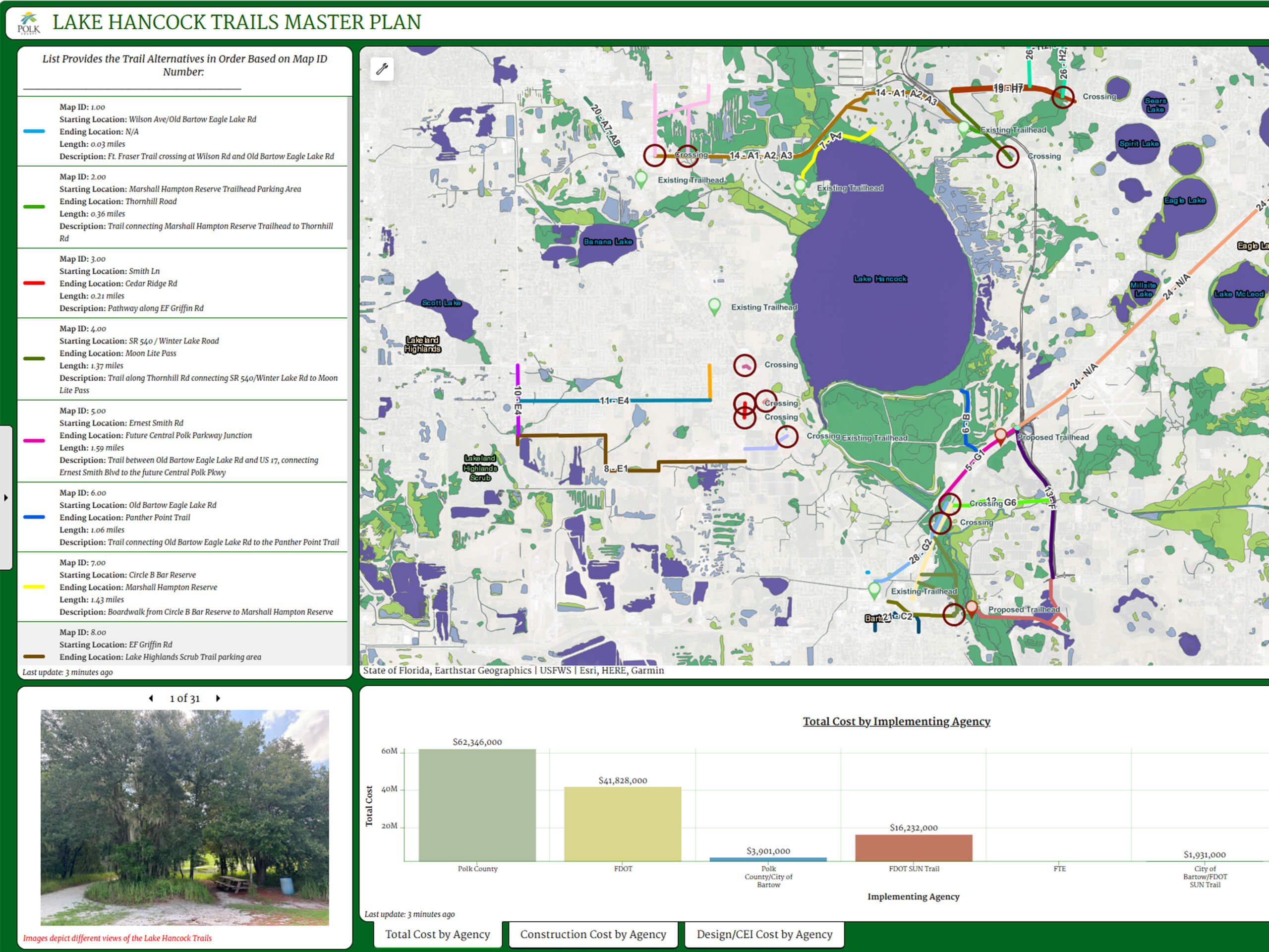
- Environmental Planning and Analysis

Esri marks are used herein under license from Esri
Senior Staff
Mary Weber
GIS Group Leader

Mary Weber
GIS Group Leader
Areas of Expertise:
Geographic Information Systems, database development and design, application development and design, socio-economic data analysis, transportation planning, environmental planning, educational outreach and training, public involvement, and supporting FDOT and other state and local agencies.
Mary loves to travel, and over the last five years has surely logged enough driving hours to obtain a Commercial Driver’s License (CDL)! When not on the road, Mary is active in her St. Petersburg, FL community, where her husband, two children, and dog live and play.
Tyler Griffin, GISP
GIS Systems Administrator

Tyler Griffin, GISP
GIS Systems Administrator
Areas of Expertise:
Geographic Information Systems (GIS), ArcGIS, cloud solutions architecture (AWS), database development and design (Postgres/MS SQL), web maps and applications, data analysis, and Python for automation.
Tyler loves spending time with his family, cheering on his kids’ passions, diving into good books, discovering new music, learning new things, exploring great local food, and rooting for Orlando City Soccer Club (Vamos Orlando!).


